I-ASC: Investigate, Analyze, Synthesize, Communicate
Advancing Environmental and Geographic Literacy through Problem-based Learning in the Middle School Grades
Investigative Question: Where should Blandy Experimental Farm build a proposed education center?
Project Design
At the beginning of this project, all 6th-grade students conducted investigations in the field and classroom examining and evaluating potential effects that a building site could have on existing environmental and cultural resources at Blandy. At the end of the school year, teacher-selected groups of students presented their proposals before the Foundation of the State Arboretum Board. After our first year, students at three of the four middle schools examined land management and human activity impacts at their schools.
Strategies and Logistics
Blandy and Frederick County Public Schools educators used a multi-disciplinary, problem-based learning (PBL) approach to guide 1000 6th-grade students through the problem-solving process.
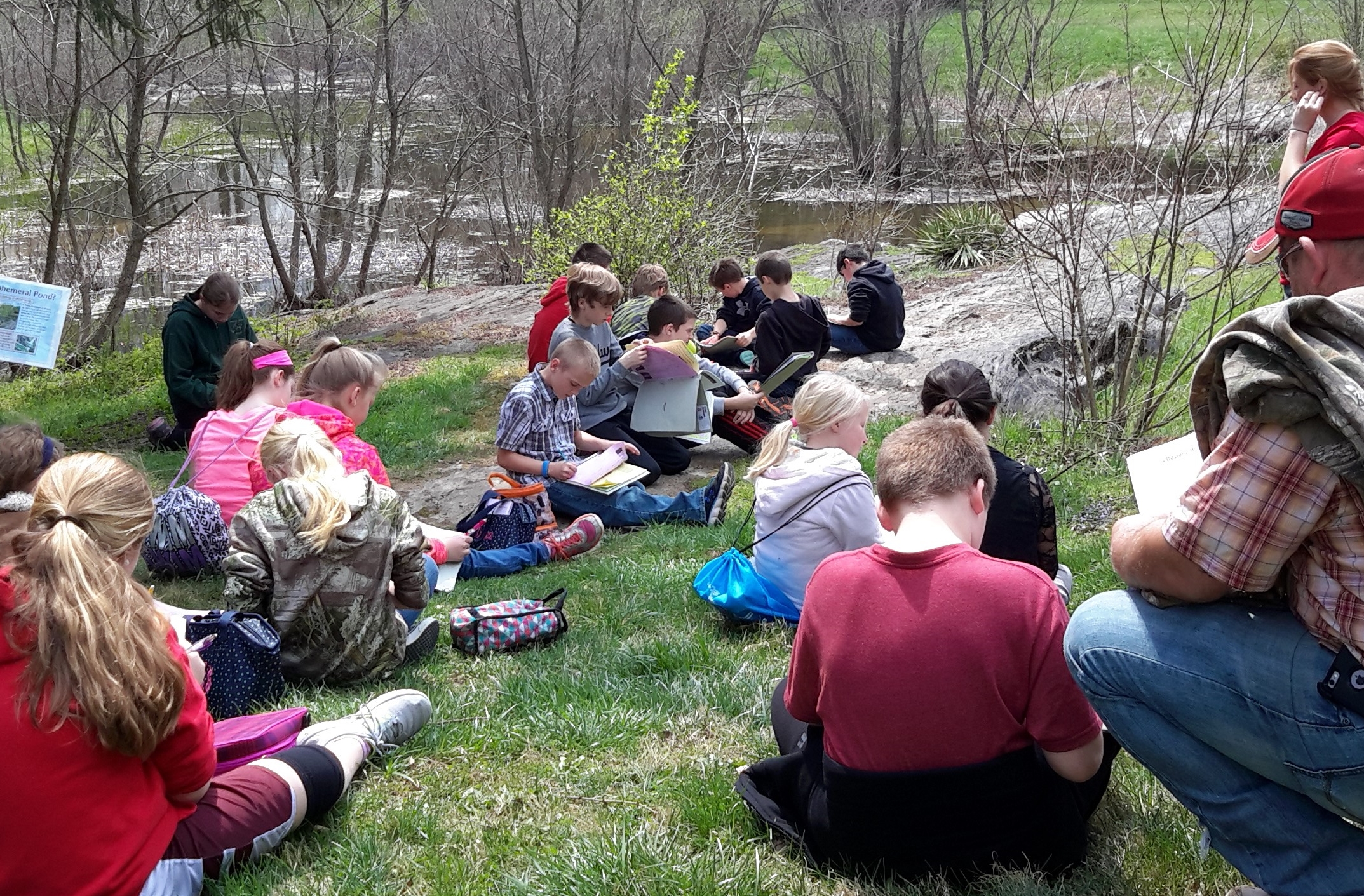
Students visited Blandy twice each school year (fall and spring) to assess environmental and historic/cultural resources and the potential effects that the development of a building site could have on these resources. Each field investigation day was preceded and followed by work in core content classes. Three of the middle schools applied the skills learned at Blandy to examine human activity impacts at their schools.
To learn more about this project, visit the Bay Backpack program, explore the tabs below, or view our lessons featured in the NOAA Chesapeake Exploration: Facilitator's Guide to MWEE Training.
On-Site Blandy Investigations
- Watershed Models: Learners are given a physiographic region of Virginia to model using scrap paper and a plastic tablecloth. They then predict the direction of water flow and make it "rain" over their model with a spray bottle, observing how the water flows. Click here for the lesson plan.
- Hydrogeology Investigation: Students explored how water moved over (and into) models of different ground cover: native plants, concrete, soil, and grass. They moved the models to replicate a scenario and poured 1000mL of water into the system in an attempt to get the cleanest recharge and runoff. Click here for the lesson plan.
- Water Quality Investigation (Water Chemistry): Testing water for the pH, temperature, load of nitrates and phosphates, clarity (turbidity), and quantity of dissolved oxygen give students a "snapshot" of the health of the body of water at the precise moment in time. Click here for the lesson plan.
- Water Quality Investigation (Aquatic Macroinvertebrate Survey): Collecting, identifying, and counting aquatic macroinvertebrates in a water sample allows students to analyze the quality of water over a longer period of time. Click here for the lesson plan. For a lesson cluster to integrate field investigations with classroom learning, click here.
- Site Analysis Investigation: Students analyze two separate sites at Blandy Experimental Farm to develop observation skills and analysis techniques. Click here for the lesson plan.
This project was funded by the NOAA B-WET Program, Award # NA14NMF4570265
